Deer & Wildlife Recovery
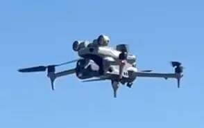
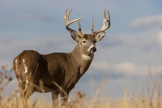
After the shot, every minute matters. Our thermal drone scans fields, thickets, and creek bottoms for the heat signature of downed deer and other game, cutting a search that could take hours down to minutes, day or night.
Pet & Livestock Recovery
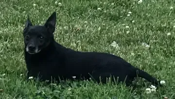
When a dog slips the fence or livestock gets loose, every second counts. We fly a rapid thermal search over fields, woods, and neighborhoods to locate pets and livestock and get them back where they belong.
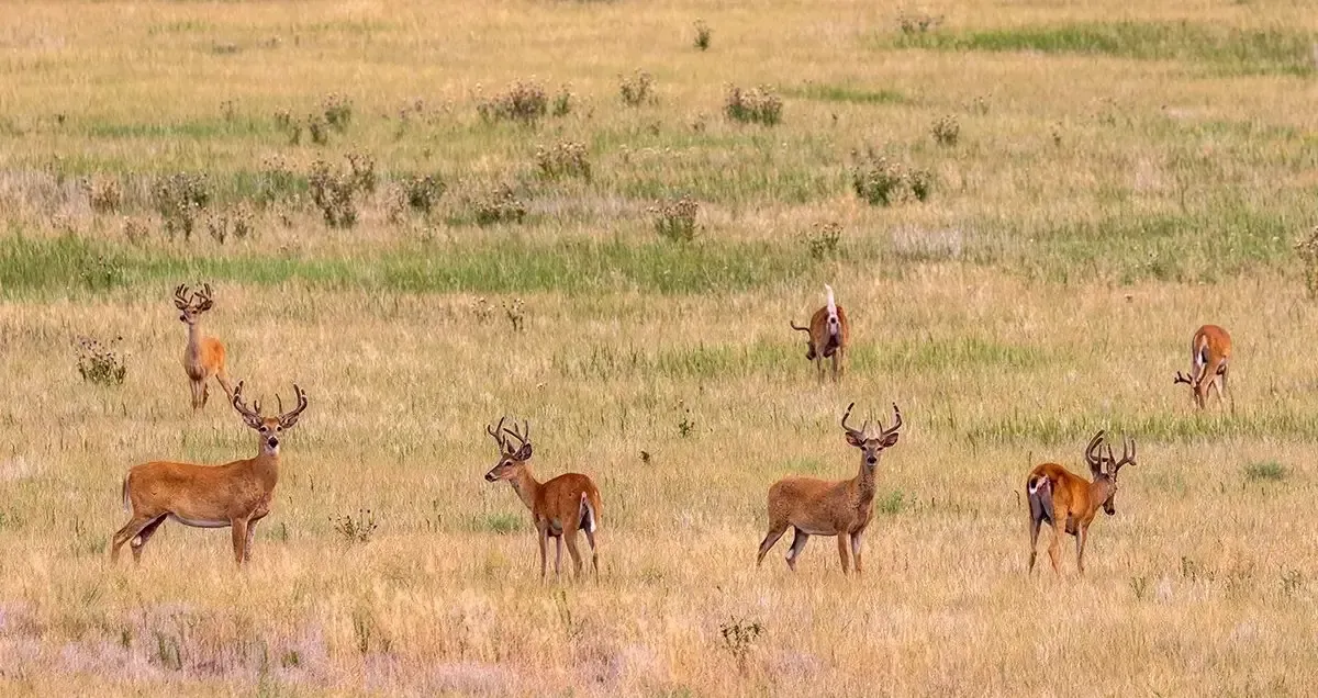
Deer Herd Analysis
See what’s really moving on your property. A thermal herd survey counts deer after dark, giving hunters and land managers hard numbers to guide harvest decisions and habitat planning.
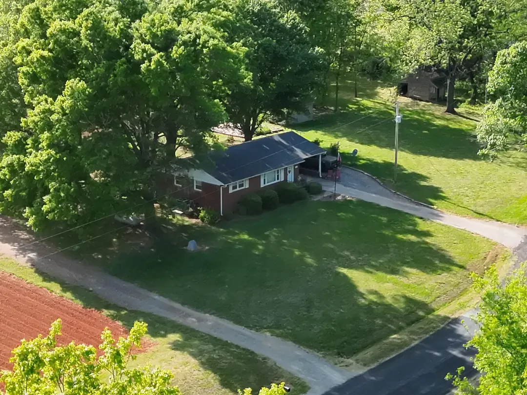
Real Estate Aerial Photography
Show a property at its best. We capture high-resolution aerial photos and video that give real estate listings the standout look buyers notice, from full-property overviews to close-in architectural shots.